Easy & Scenic Hikes on the Blue Ridge Parkway near Maggie Valley, NC
America’s “All American Road” is a linear park that runs 469 miles through Virginia and North Carolina. Yearly, millions of visitors drive the picturesque Blue Ridge Parkway that links the Shenandoah National Park to the Great Smoky Mountain National Park as it travels along the spine of the Blue Ridge Mountains, a major mountain chain of the Appalachian Mountains. It began during the administration of President Franklin D. Roosevelt, where strong negotiations between congressmen select the route for the parkway through North Carolina, not Tennessee. On June 30, 1936, Congress formally authorizes the project as the Blue Ridge Parkway and places it under the jurisdiction of the National Park Service. New Deal public works agencies are involved in its construction. Also known as “America’s Favorite Drive” the parkway is 50% complete by 1950 and except for a few miles totally complete in 1966. Since 1946, the Parkway continues to be the most visited unit of the National Park System.
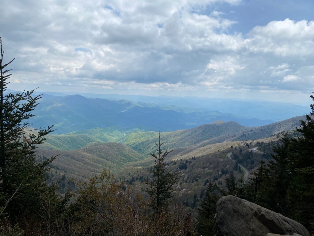
Driving the “All American Road” with its fabulous panoramic mountain views, we reflect on the energy, work, manpower, and engineering feats to construct this amazing road along the mountain tops. On any mountain getaway to North Carolina, drives, hikes, picnics, and stops at scenic overlooks along the Parkway are a must. Craggy Gardens and Mount Mitchell State Park are favorites when visiting Ashville, North Carolina. For this three week mountain vacation in Maggie Valley, North Carolina, we are ready to explore this 40 mile section of the Blue Ridge Parkway. We’ve already easily tackled the hike to the top of Waterrock Knob, the 16th highest peak in Eastern United States. The Waterrock Knob Trail ascends 400ft. to an elevation of 6,293 feet. Today’s adventure is three well-known supposedly easy hikes closest to Maggie Valley of Richland Balsam Trail, Devil’s Courthouse, and Graveyard Fields. With our picnic, water, sunscreen, sunglasses, hats, Blue Ridge Parkway Map, and notes of the mile markers for each location, we are off for a day of exploration on the “All American Road.”
Richland Balsam Mountain: 9th Highest Peak in the East USA – Milepost 431
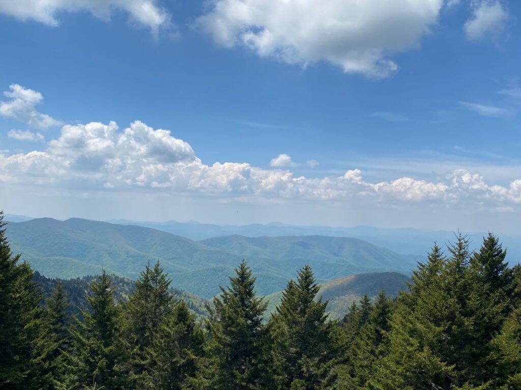
Today the Carolina blue skies with scattered clouds is perfect for panoramic views on the Blue Ridge Parkway. Turning onto the Parkway just a few miles outside Maggie Valley, North Carolina, it’s a twenty mile scenic drive to our first planned stop and hike. At milepost 431, the Richland Balsam Overlook provides miles of views of the mountains from its elevation of 6,053. The Overlook is scenic for just viewing but today’s goal is to do some hiking. Around the curve, we pull into the Haywood-Jackson Overlook on the left. Here a 1.5 mile loop trail slowly ascends to the summit of Richland Balsam Mountain. Wow! Richland Balsam rises to an elevation of 6,410 elevation and is the ninth highest peak in the East of the United States. Spotting the signage for the loop trail, we begin our ascent. A short distance up the path a wooden marker #5, shows the split of the trail to begin the loop.
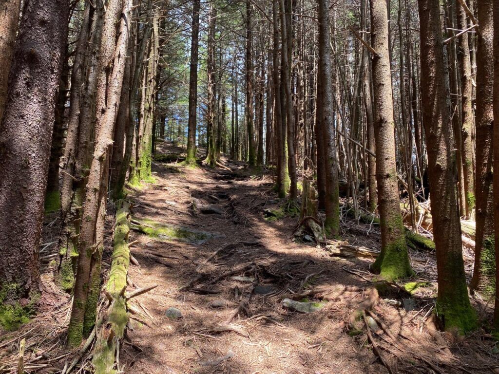
We take the trail to the right and continue to follow the numbered wooden markers. Sadly, there are no pamphlets denoting the points of interest for each marker. It would be nice just to know the distance to the top. The trail is shady as it climbs through a tall fir forest. We continue to follow the post marker numbers as the trail winds to the summit.
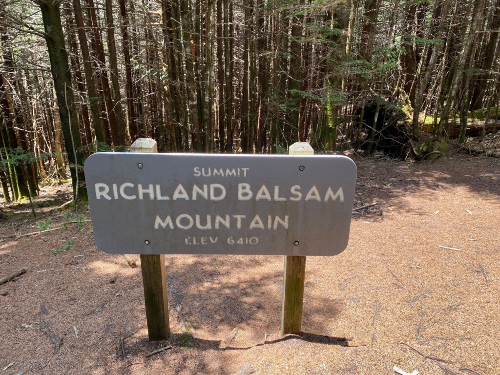
Arriving at the summit near post marker #13, we snap a photo at the sign. NO MOUNTAIN VIEW! It is a bit disappointing, especially after the climb to not have views of mountain vistas. It is a scenic forest setting with the tall fir trees. The long range views from Waterrock Knob had us expecting the same miles of mountain views at Richland Balsam Summit.
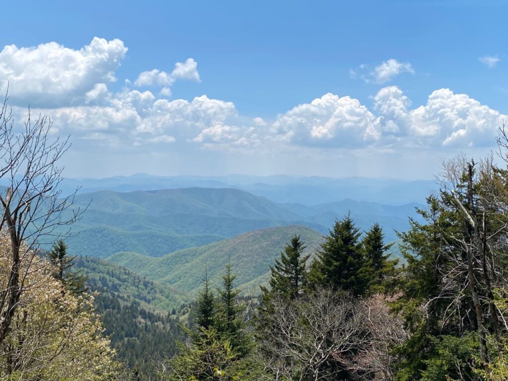
Continuing on the loop trail it begins to slowly descend and wind through the fir forest. Hurrah! As the trail continues to turn towards the lower portion, a clearing offers long range picturesque views. Snapping pictures, we continue on the trail. It joins the main trail after post marker 23. Ah – now we know that there are at least 23 wooden marker posts and the Summit is near post 13. It is an invigorating hiking with enough elevation changes as the trail climbs through the forest. We can brag that we hiked up about 400 ft. to the summit of 6,410. With its picnic table and views, Haywood-Jackson Overlook is perfect for our picnic lunch before continuing to our next hiking spot.
A Parkway Bursting with Blossoms
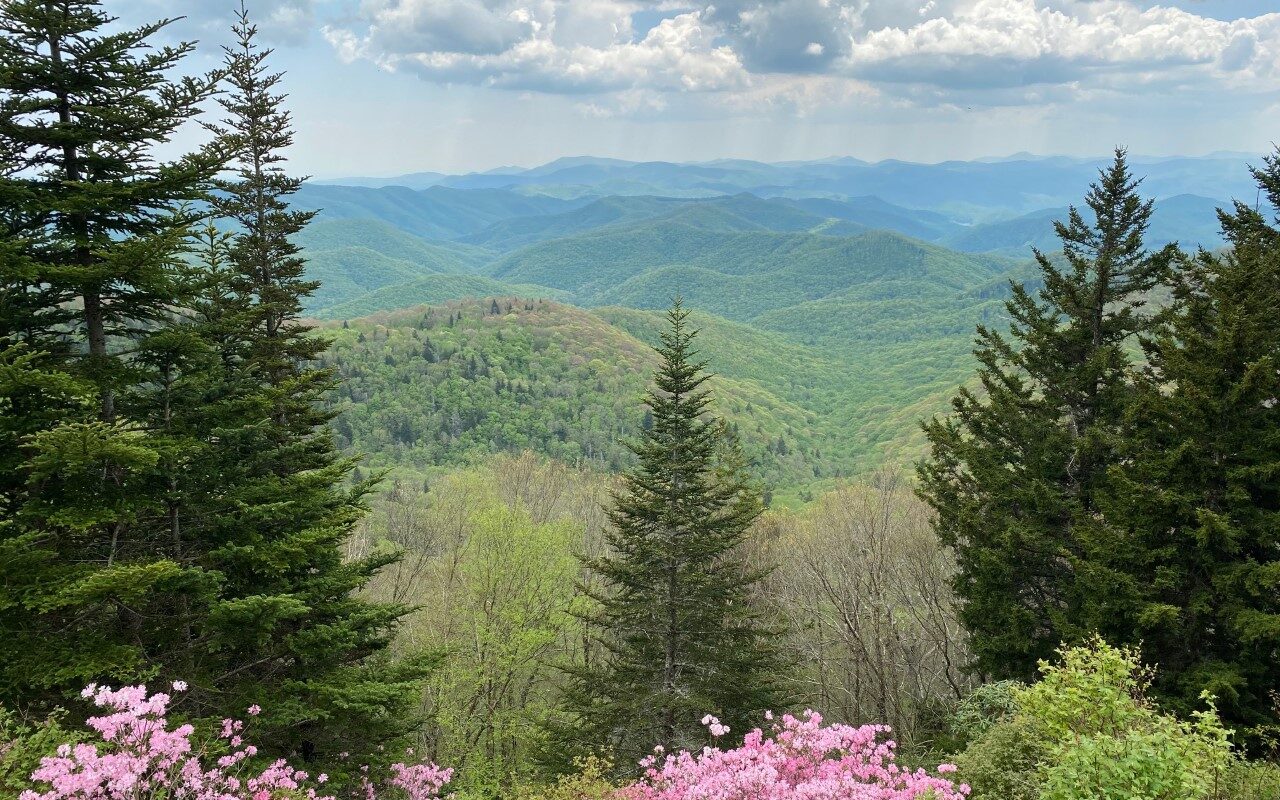
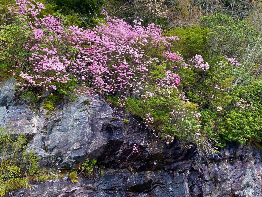
Awesome! We round a curve and the craggy rock ledges bordering the road are covered in blossoms of pink flowers. It is late May so spring flowers are blooming on the mountain tops later than in the valley. The week before on our Blue Ridge Parkway drive at the higher elevations there were only a few buds. Today, the rocks along the ridges are bursting with beautiful pink flowers. It is FANTASTIC! Finding a safe place to pull off the road, we snap pics of these beautiful flowers growing out of the craggy rocks. What is this gorgeous flower? Best guess is the Mountain Azalea. This craggy area of flowers is located between Haywood-Jackson Overlook and Wolf Mountain Overlook.
Devils Courthouse: Panoramic views! Milepost 422.4
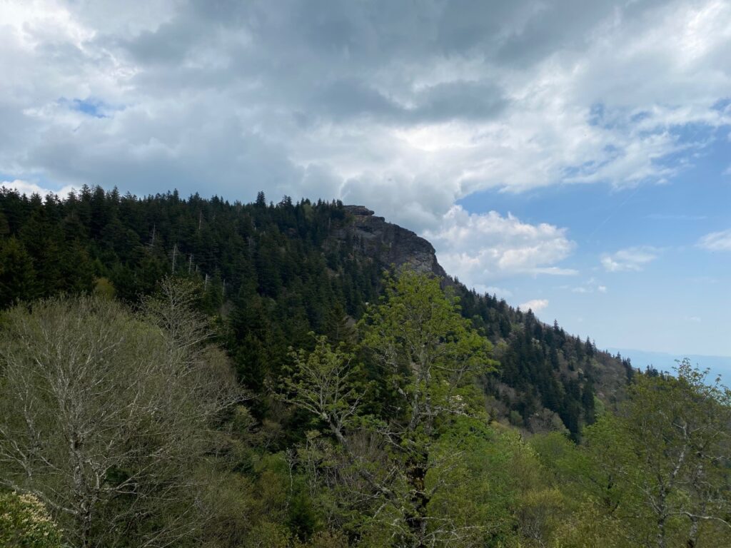
At the Devil’s Courthouse Overlook, we glance up to the sinister looking rock above. Legend has it that the devil held court in a cave beneath the craggy rock formation thus the name – Devil’s Courthouse. In Cherokee lore, the slant-eyed Judaculla lives in the cave and it is his private dancing chamber. Now to take the half mile trail to the top for views of four states.
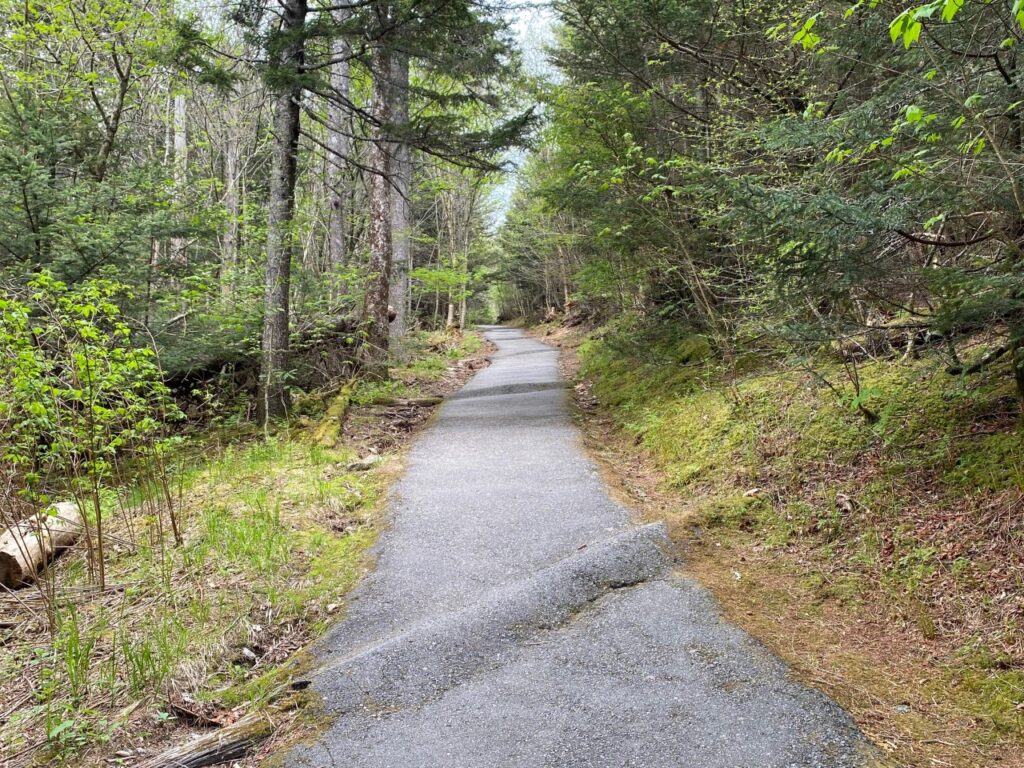
Following the paved path from the parking lot, we begin our walk. Once we make the turn and start up the trail, it is literally UP. A paved path much of the way is a steep ascent. Every several yards there are “speed bumps”– basically trees that have been paved over. Umm – is this to slow hikers down on the return trip or prevent a river of water in the rain? Since the path is steep, benches have been places along it to take a nice respite, since it is also over 5,000 ft. elevation. As the trail nears the top the pavement stops and it is more of a rocky stone path and even has some areas with steps. Another unmarked trail leads to the cave below but we choose to stick to the main trail to the top.
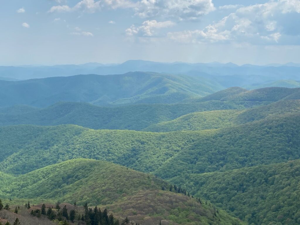
At the summit is a large stone walled viewing area. Fantastic! True 360 degree views are astounding. Walking the perimeter of the viewing area at an elevation of 5,720 feet – we have “miles and miles of spectacular views.” Along the top of the stone wall are sundial type placards designating states, towns, and distances to each. We can see four states! Yes, looking out in various directions we see South Carolina, Georgia, Tennessee and, of course, North Carolina. Glancing down to the Devil’s Courthouse Overlook Parking Lot, I point out our car. It is almost like looking straight down. Now we realize how steep the trail is to the top. In a ½ mile we climb 720 feet elevation. Wow! That is 3.5 ft. up for every foot. The return trip is easier and quicker. It is a great hike!
Graveyard Fields Features Waterfalls – Milepost 418.8
Graveyard Fields is a very popular hiking trail on the Blue Ridge Parkway that features two waterfalls in a mile-high valley. Why Graveyard Fields? The name originated from tree stumps that looked like grave stones in a graveyard. Located at Milepost 418.8, this is the first stop where we find a crowd of visitors. It is also closer to Asheville and is very popular with having trails to two waterfalls. Additionally, this is one of the few hiking places on the Parkway with restrooms. Two hikes are available at Graveyard Fields. A short hike goes to the Lower Falls while the longer 3.5-mile loop goes through a meadow to a second waterfall – Upper Falls. With return drive and it getting later in the day, we opt for the shorter hike.
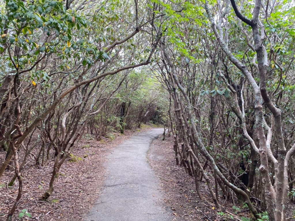
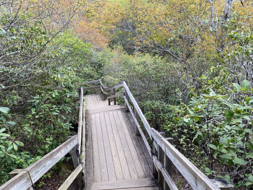
Starting down the steps from the parking lot, the paved trail winds through a thick patch of rhododendron.As we approach the River there is a set of steps to the river. After crossing the river, we enjoy just stepping across rocks in the flat calm area of the river. Since this is above the Lower Falls, several families are sitting on rocks in the river, enjoying the serenity. Continuing on the trail, more steps lead down to the viewing area near the bottom of Lower Falls.
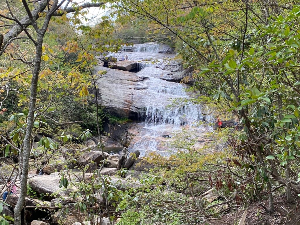
The waterfall is beautiful! It is a bit crowded today. A group of teenagers are diving and jumping into a swimming hole at the Falls. Fun watching each of them get the “nerve” to take the plunge. On the return, we count the steps for this 1/3 mile trail. Note: There are a total of 136 steps on the trail – 28 from the parking lot, 48 before crossing the river and 60 down to the lower falls. It is overall an easy and nice hike to see the Lower Falls. Maybe on another visit, we will take the longer loop trail to the Upper Falls.
Looking Glass Rock: A Unique Monolith – Milepost 417
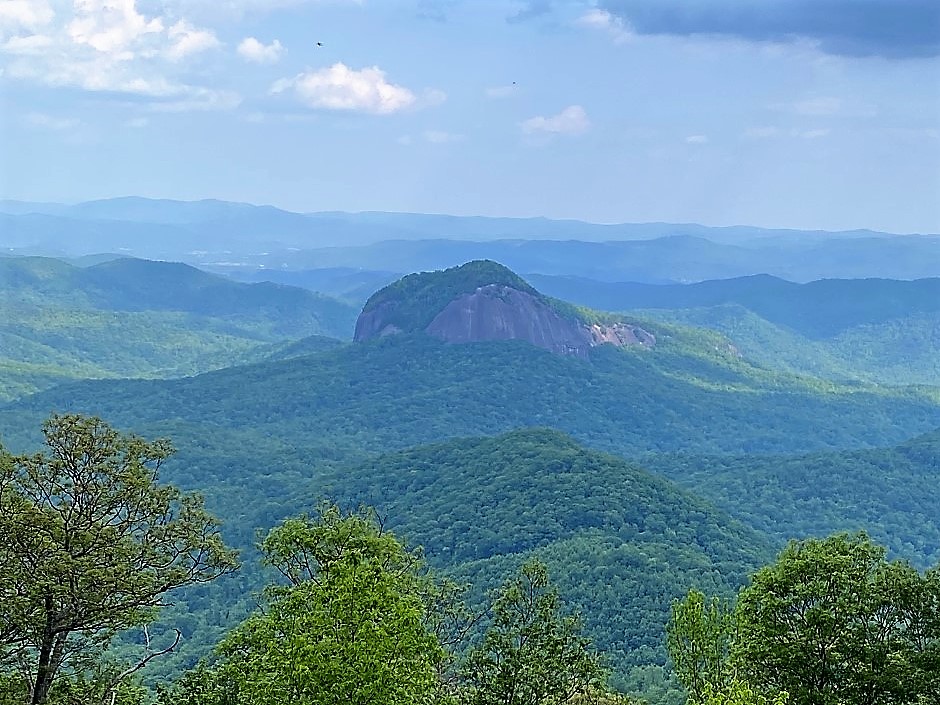
Just a mile from Graveyard Fields, we spot a massive exposed rock. Awesome! It looks like a sentinel rising above the surrounding forest. Pulling into Looking Glass Rock Overlook – we are in awe as we look out at this monolith. The Looking Glass Overlook on the Blue Ridge Parkway has unobstructed views making it the perfect place to snap a picture. Made of compressed volcanic rock, the geological processes of weather and erosion have whittled away at the mountain. Today, the dense core of the granite is all that is visible. It reminds us of Stone Mountain near Atlanta, Georgia. Looking Glass Rock is even more impressive being surrounding with the forests and mountains along the Blue Ridge Parkway. It is almost like a fairy tale setting seeing this massive rock in a forest. Looking Glass Rock is a “must see.” A grand finale for our final stop before we leave the Blue Ridge Parkway taking SR 276 for our return drive to Maggie Valley.
Today we cover over 40 miles of the “All American Road.” We hike over 3 miles and climb elevation changes totaling about 1200 feet with all hikes at elevations from a mile-high (5,280 feet) to 6,410 feet. That is a full day for Floridians and seniors. Our plan of driving the 20 plus miles from Maggie Valley to Richland Balsam Overlook then beginning our stops and hikes works extremely well. Plus the stops from Richland Balsam Overlook to Looking Glass Rock are all within 15 miles. The Blue Ridge Parkway is more than just a “drive.” Visitors will find not only fabulous scenic overlooks but plenty of hikes from short easy ones to long strenuous climbs, numerous waterfalls and so much more. Today’s trip is just a sampling of the activities and sights along this magnificent linear park. Plus it is FREE!
If you go:
- Get a Blue Ridge Parkway Map
- Stop at a Visitor Center and talk to a Park Ranger for ideas, activities and best times of day.
- Do some preplanning. Is this a drive or do you plan a hike?
- Bathrooms are found at several overlooks and Visitor Centers. Note these can be miles apart.
- Go prepared: Take water, food, snacks, sunscreen, hats, sunglasses, etc. There are no stores or places to eat on the Parkway. Many times it is miles to any towns or even civilization. Often these are down winding twisting roads, too.
- Pace yourself on hikes – and only choose distances and elevations that are comfortable. We are seniors from Florida, so we know that we are not go to sprint to a mountaintop. We make sure to take breaks along the way on any uphill hikes.
- Avoid weekends – as the Parkway can be busy on weekends, especially popular attractions and hikes.
- Have fun, enjoy the scenery, and be proud of America’s – “All American Road.”

