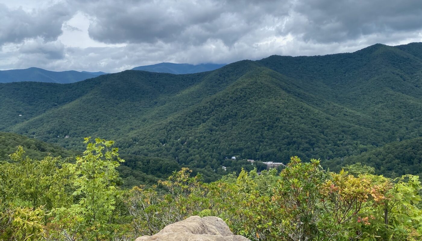
Photographic Journey of Hiking Lookout Trail
Do you like to hike? If you are in the Asheville, North Carolina area, be sure to check out Montreat, North Carolina. This scenic town is a “hidden gem.” Home to the Montreat College and the Presbyterian Conference Center, it is tucked in a cove at the foot of the Black Mountains. Take Highway 9 North through Black Mountain, North Carolina. It literally dead ends at Montreat. A friendly town that welcomes visitors, who enjoy nature and being outdoors.
Get back to nature on one of the more than 20 maintained trails hiking trails in Montreat. Exciting hiking trails of all levels cover more than 30 miles. Trails are all well marked and maintained by the Montreat Conference Center. A premier and popular hiking trail is Lookout Mountain Trail that winds its way to the tip top of Lookout Mountain. At 3,800 feet hikers will find magnificent views of the Black Mountains, Seven Sisters and Montreat. The Lookout Trail is 1.4 miles roundtrip with 623 feet elevation change. Be sure to follow the Yellow Markers for the Lookout Trail as it winds along one side of Lookout Mountain to the very top.
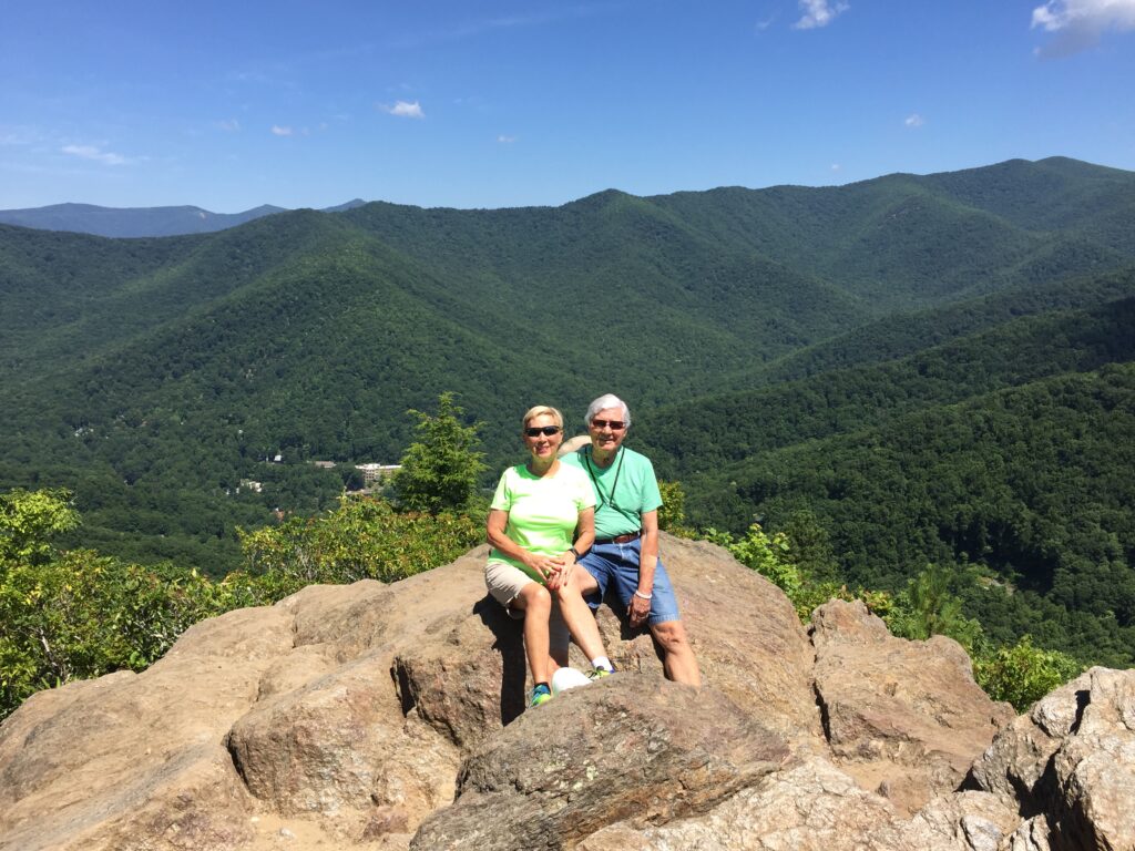
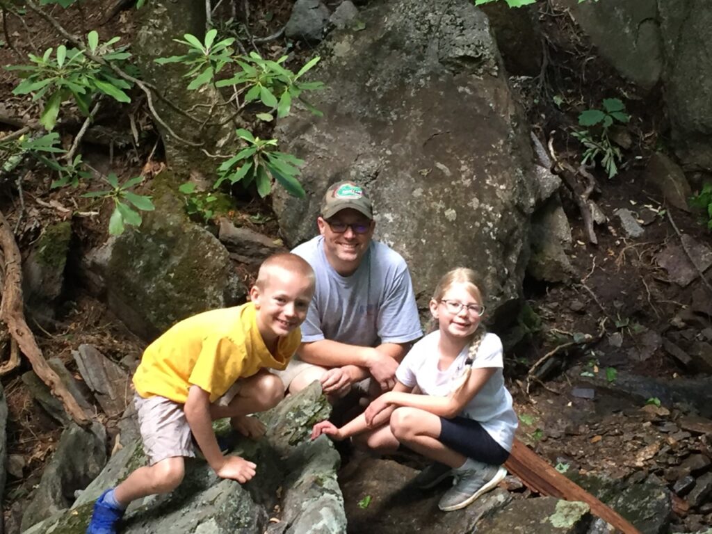
It’s been six years since we hiked to the top of Lookout Mountain. Being senior citizens (80 Richard & Charlene 76) and from Florida, we notice the elevation change when visiting the mountains. Usually, we hike other easier trails in Montreat, this year we decide to hike to the scenic mountaintop of Lookout Mountain. Actually, I hiked the Lookout Trail twice on this visit, initially with grandson Louis & his Dad on a Saturday. Then on Monday just Richard and myself tackle Lookout Mountain. The primary recommendations are to go at your own pace, take breaks as needed, watch your step, and stay hydrated. Since many visitors question if they can do the hike, below are pictures along the trail to the top of Lookout Mountain. At the very top is a large rocky outcropping. I was busy climbing so I didn’t take pictures going up the rocky area. There are a few pictures coming down. Join me on my photographic hike to the top of Lookout Mountain. Note the pictures provide a timeline for our hike. Hopefully, the pictures will help decide if this trail fits your hiking skills.
GETTING THERE
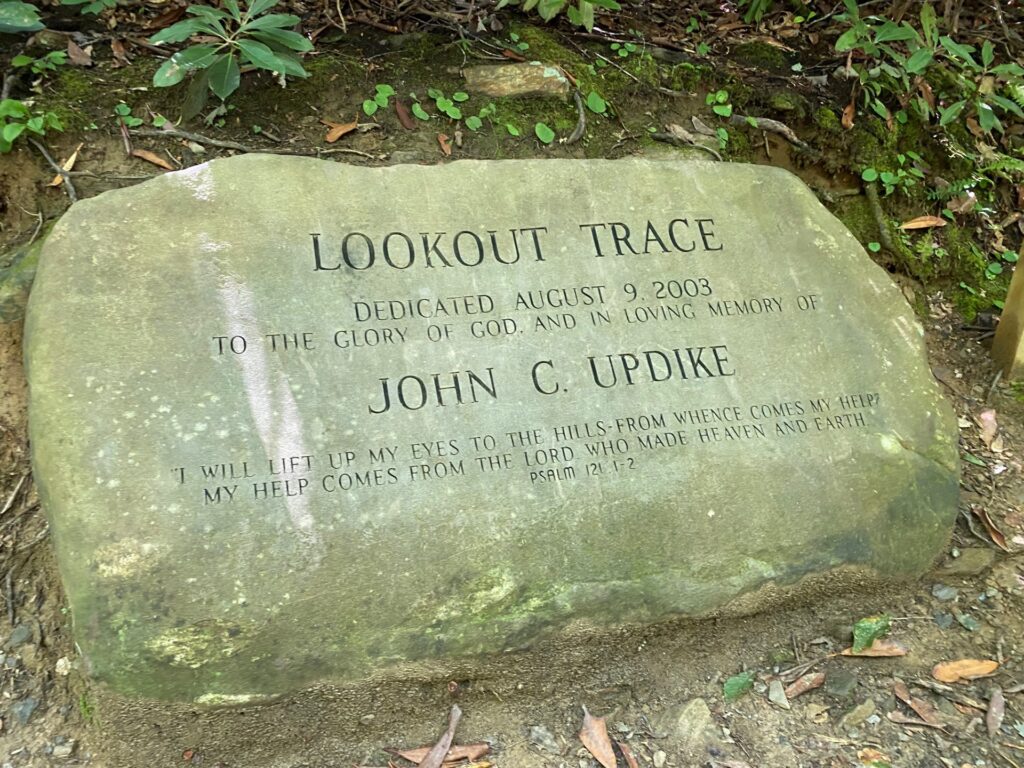
Take Highway 9 North through Black Mountain, NC which turns into Assembly Road in Montreat. Turn right onto Overlook Road and follow the road up the hill past Montreat College and stop signs. Lookout Trail starts at the parking area on the right, where a large stone marks (Lookout Trace) the entrance to the first parking area. There is a parking lot on the right just before you get to the stone marker and an additional parking lot further up Lookout Road. A few parking spaces are along Lookout Road but much of it is No Parking. Parking at one of the two Parking Lots near this rock saves extra climbing up or down to the start of the trail.
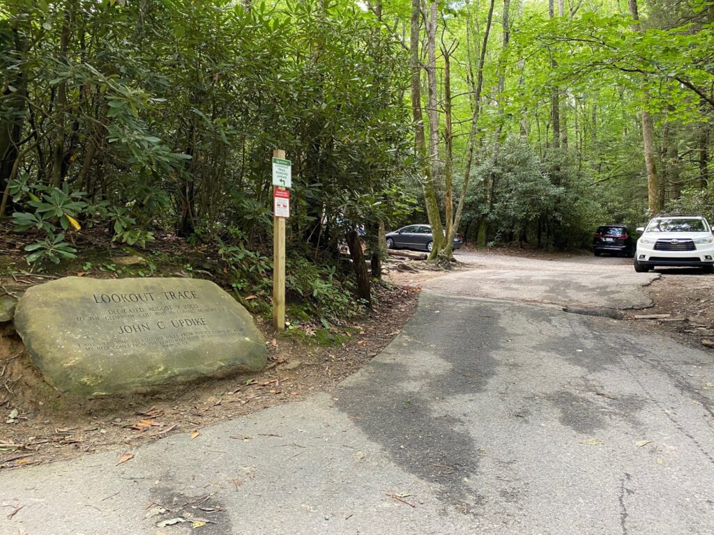
Only a few cars can park in this parking area. There are more spaces for parking in the lower lot and the upper parking lot.
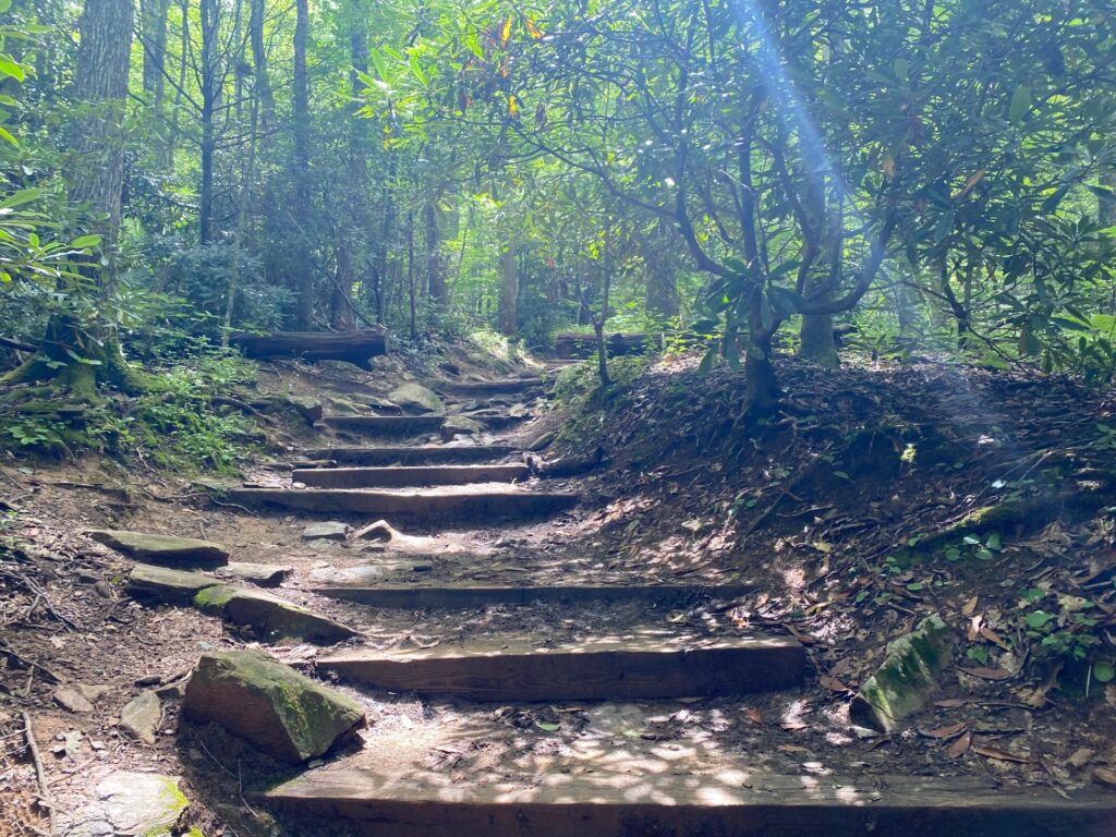
The trail begins with railroad ties that are like huge stair steps. It is usually cooler in this lush forest portion of the trail.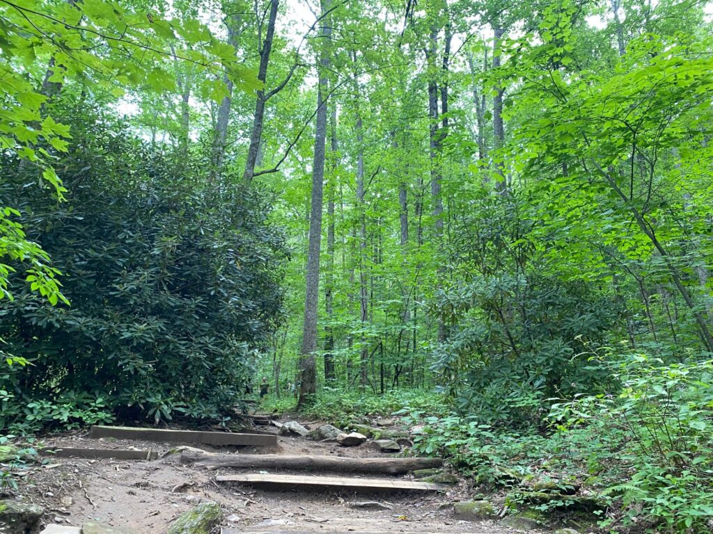 12:31 PM the trail winds slowly up the mountain.
Look at the beautiful green foliage of the trees and the huge rhododendron on the left. In springtime the trail must really be beautiful with rhododendron and mountain laurel in bloom.
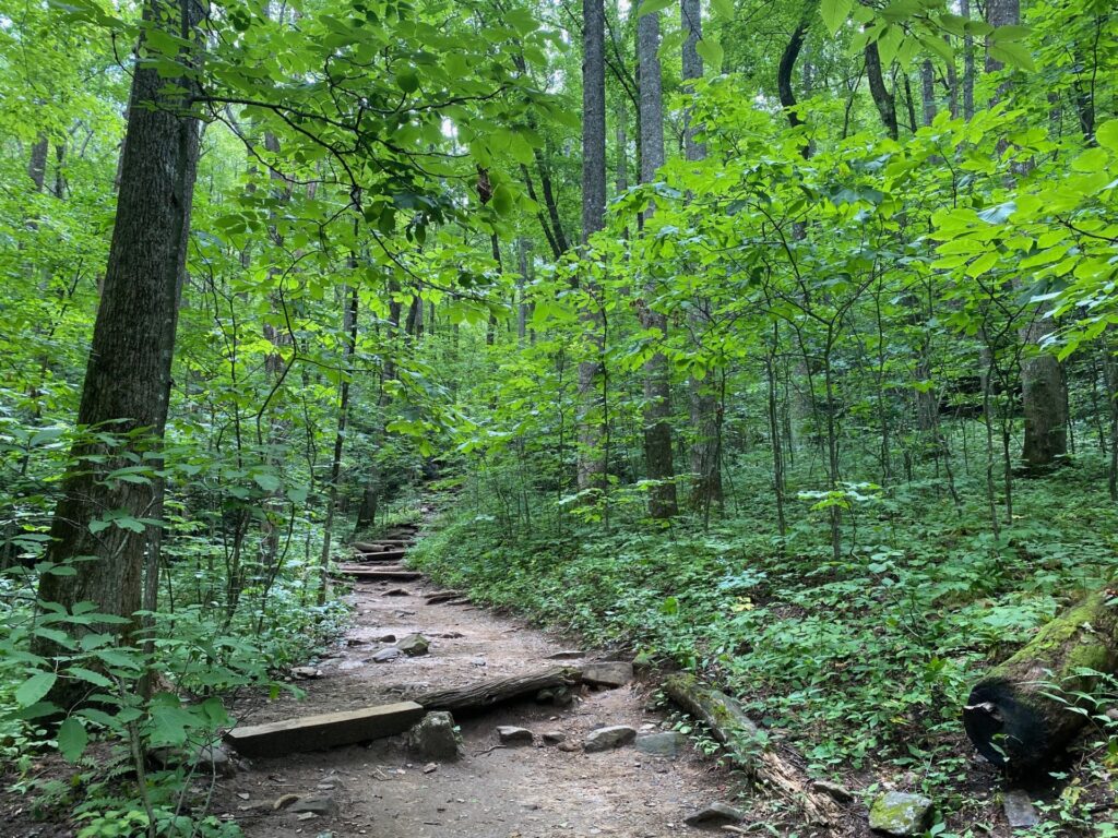
Parts of the trail get narrower where others are much wider. Here we see a lot of underbrush along the trail. We had a nice stop here before continuing up the next turn of the trail. Our hiking process was to pick a spot to hike to, then take a break. Our respite stops are usually where a path switches back or the top of steeper grade or stairs.
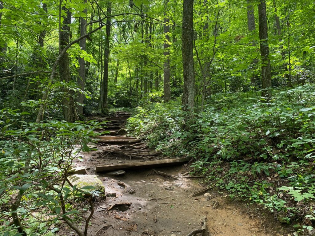
While this is just around the corner from the last photo, the deep green of the forest undergrowth shows up with bright green of the trees.
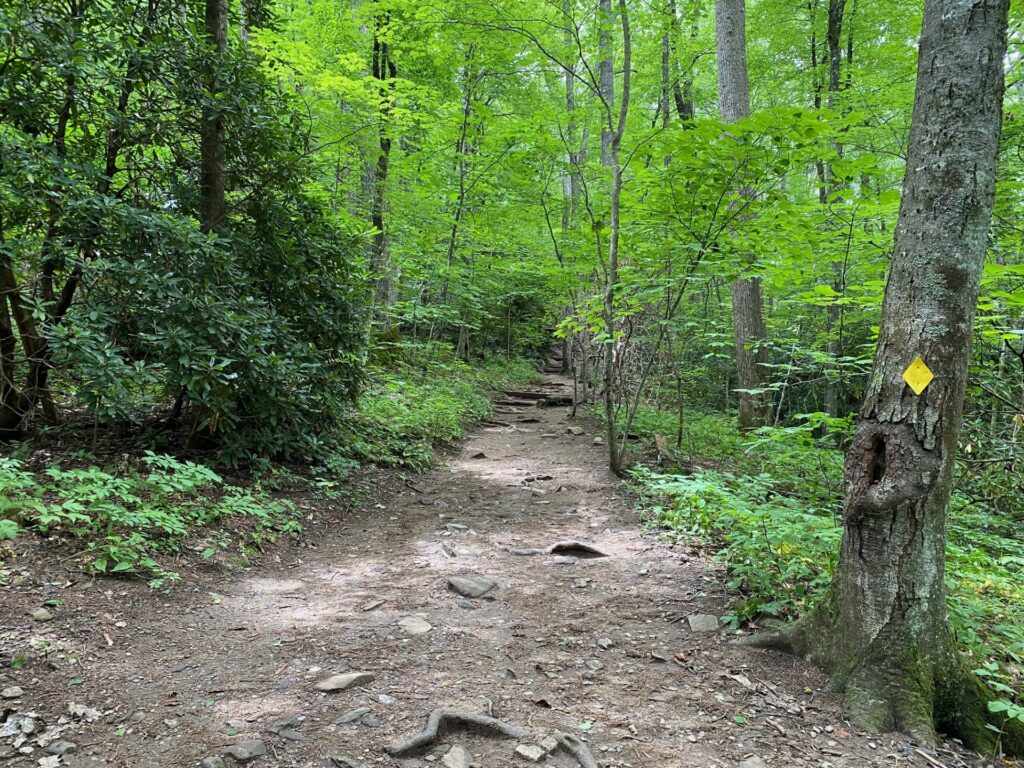
A few times along Lookout Trail we find a nice flat path. The yellow trail marker is for the Lookout Trail.
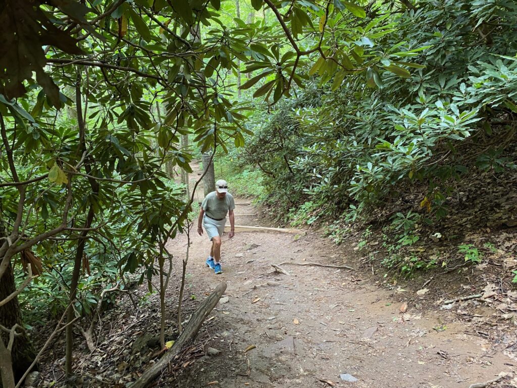
Looking down as Richard is hiking, it is easy to see this area is a steeper trail.
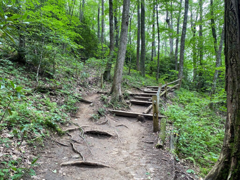
The trail has numerous areas with steps built into mountain to make it an easier climb. Most have handrails making it even safer. Plus, these are areas that can be very slippery after a rain or even washout.
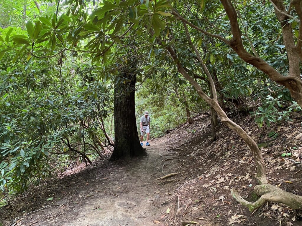
The trail is a slow uphill climb as we approach a set of steps on this portion of the path. Again looking down the trail provides an idea of the steepness.
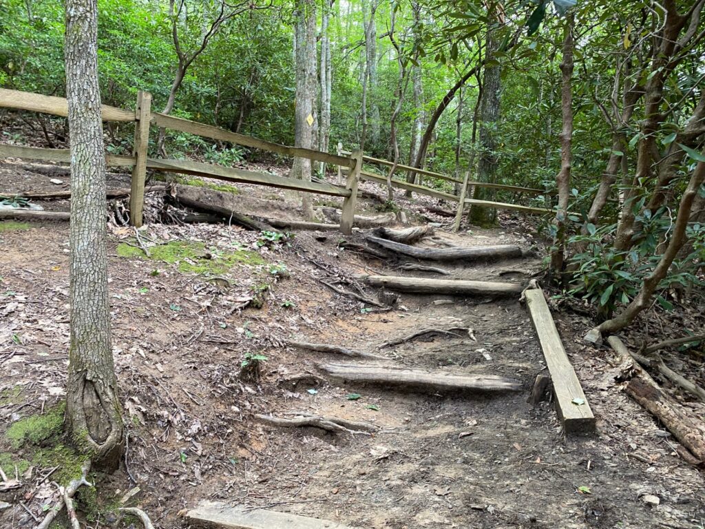
Okay so these aren’t fancy steps. Just logs arranged to prevent erosion of the trail. These are very rustic but do have handrails for safety as we walk up the path.
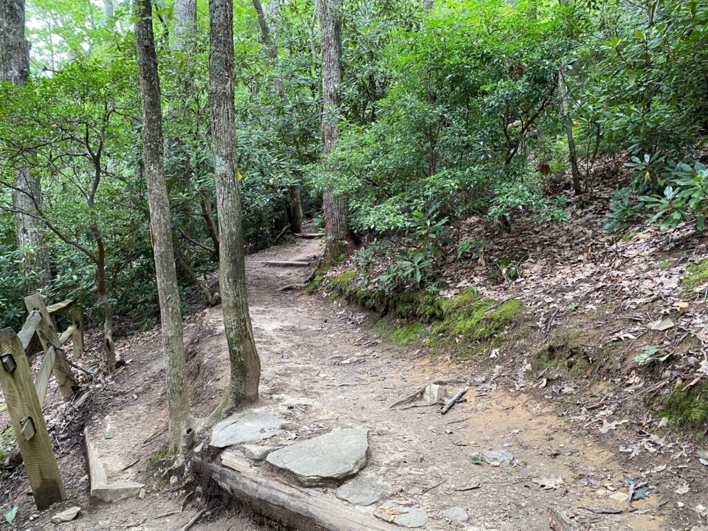
At the top of the rustic steps, the trail smooths out a bit.
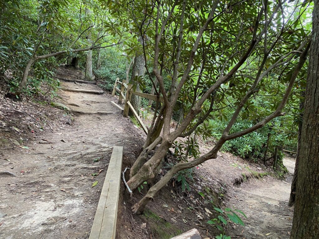
Here the path on the right is the slow winding trail that now turns up the mountain with sections of logs or boards to prevent erosion.
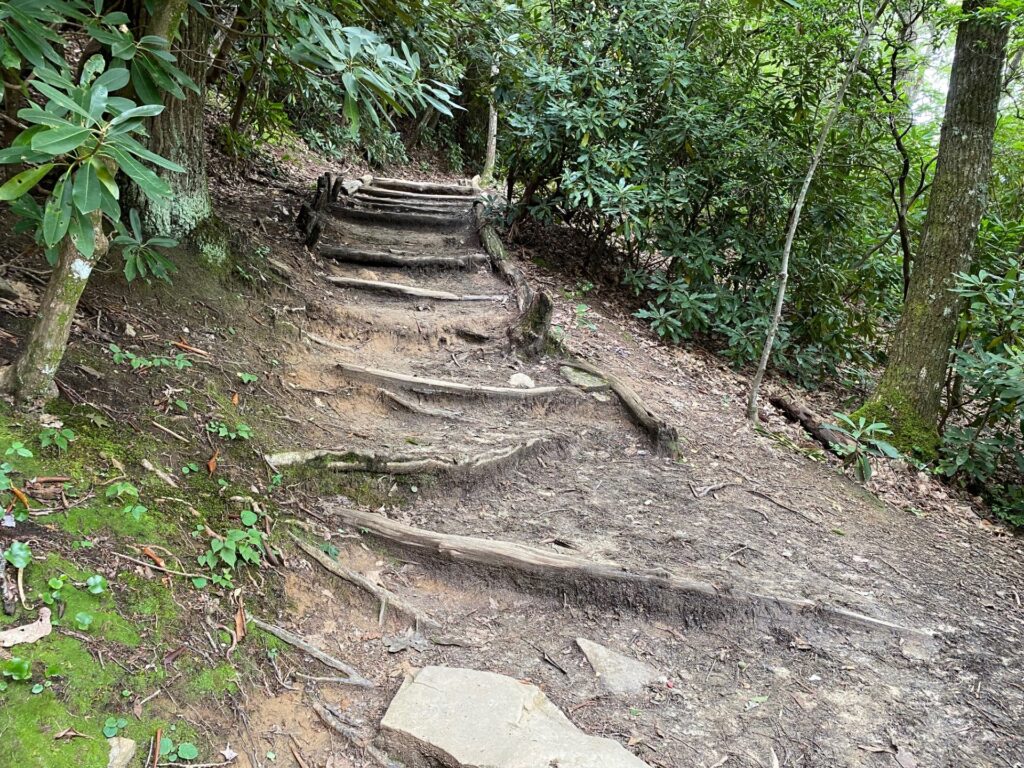
There are many exposed roots along the trail creating stair-steps as we climb the winding trail.
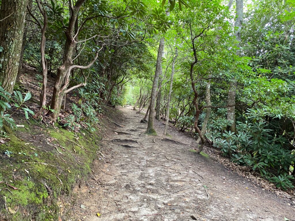
Hurrah! Nice flat areas of the trail are enjoyable to catch our breath and walk at bit faster. Notice the rhododendron on both side. Also, this section of the path is cut into the hillside on the left.
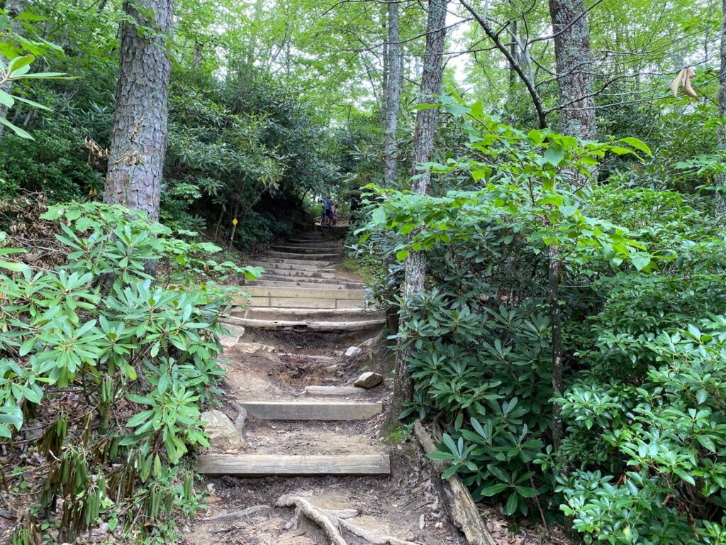 12:51PM fairly steep steps up through the rhododendron.
This is a longer set of steeper steps that take us through the Rhododendrons.
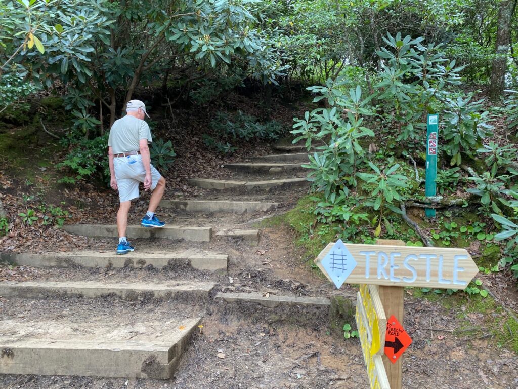
We are the right path with the signpost pointing up the steps for Lookout. The blue Trestle sign is for another path to a railroad trestle.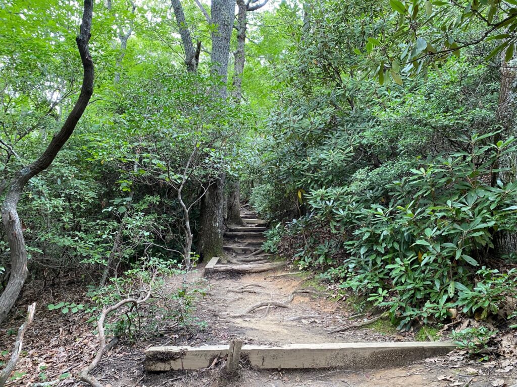 12:54PM More winding steps take us up the hill.
More steps up the hill. We take breaks as needed. Here you can see a stake in the ground holding the board in place. Rains could easily washout the steps and path. The trails at Montreat are very well maintained.
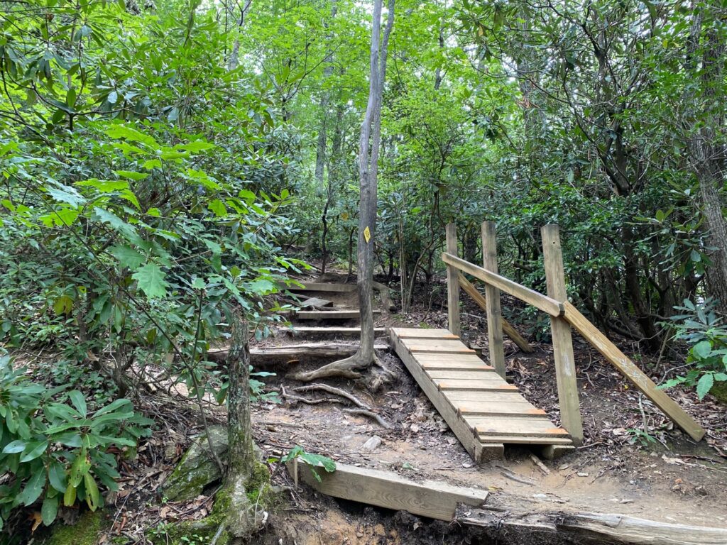
Here is a good example of being sure hikers can get to the next level safely. A long board with slats for steps. Hold on to the hand rail as it can be slick. As we reach higher elevations, we stop for breaks along the way and make sure to drink water to stay hydrated. The sign on the tree says: “Please leave the trail better than you found it.”
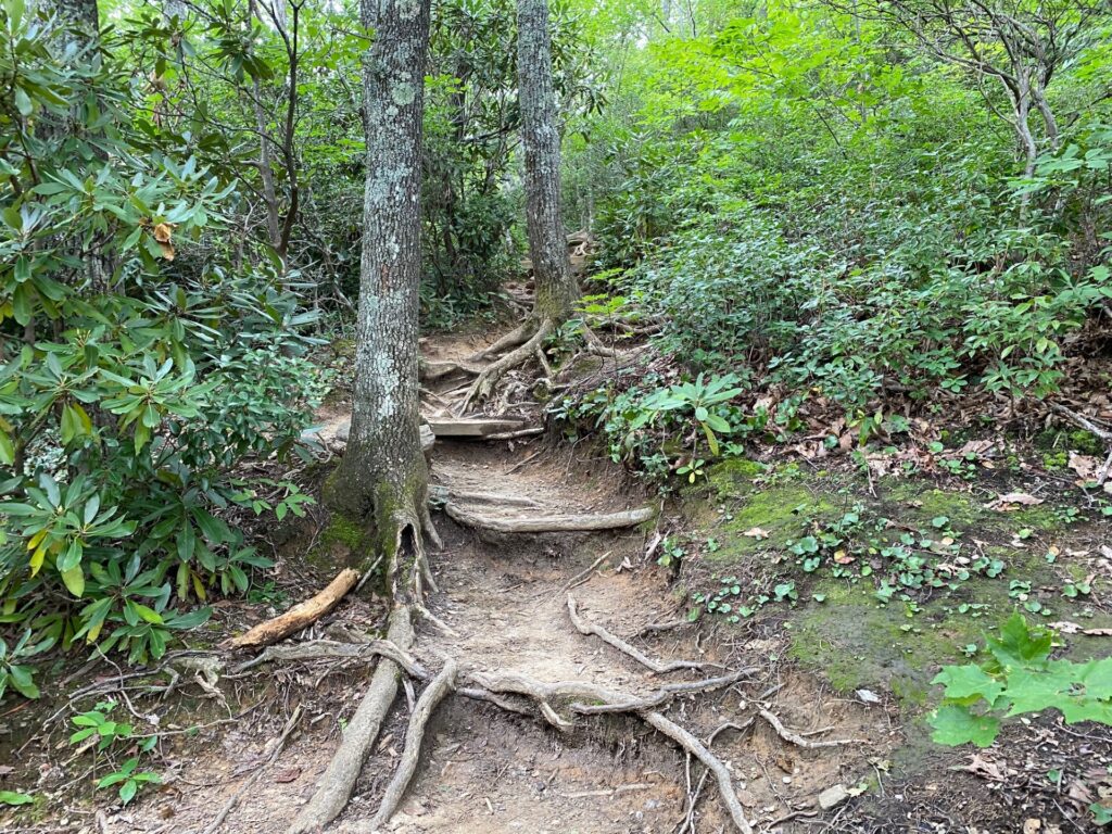
The trail to the top of Lookout has a variety of man-made inventions and nature to get us to the top. Roots work great for steps on the path.
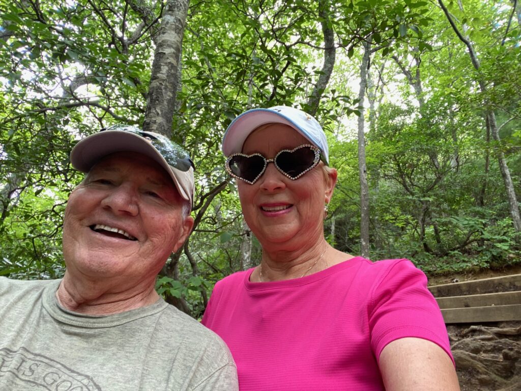
Time for a selfie as we get nearer the top. Perfect for a break before the next series of steep steps behind us in the picture.
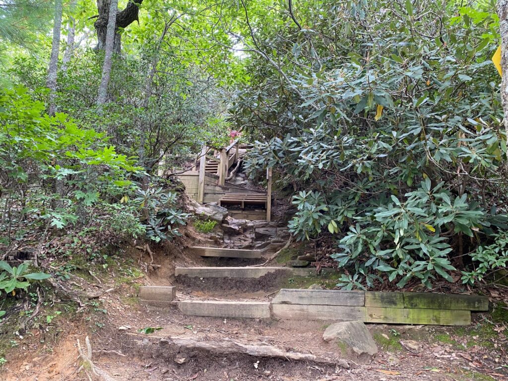
As we arrive at this next series of steps, a lady has fallen and injured her ankle (nothing broken). We stay to assist if needed. After much discussion, the decision is made to call 911 to get assistance to get the lady down the mountain. Note: For time line purposes we are here about 10 minutes.
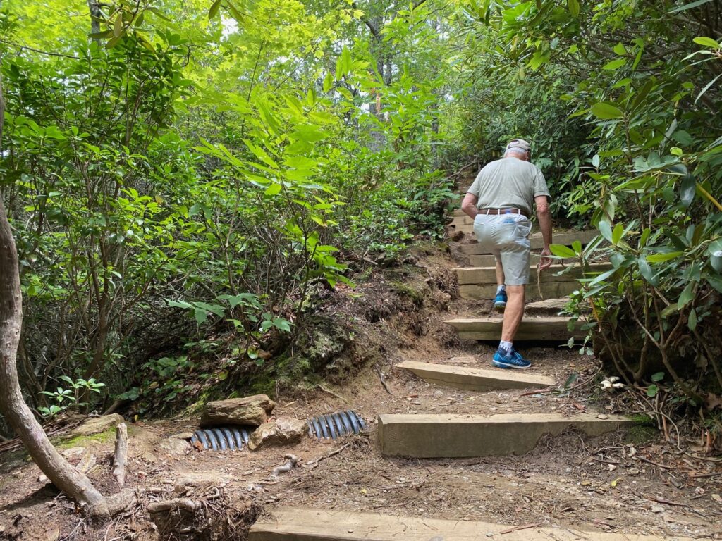
We continue up steps that are a bit steeper at this level. After this is craggy rock outcropping that we scramble over to get to the very top. Scrambling and crawling are best for describing the method to get over these rocks. Sorry, no pictures. I was busy staying safe.
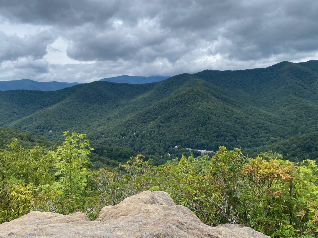
LOOKOUT MOUNTAIN FROM THE TOP
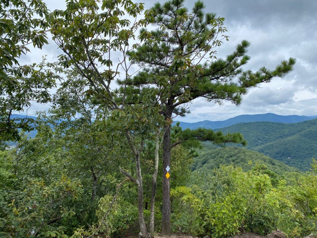
HURRAH! We are at the tip top of Lookout Mountain. The actual hiking time today with rests (less time for assisting injured hiker) is 1 hour. A spectacular view of Montreat, the Seven Sisters and Black Mountains awaits us at the top of Lookout Mountain.
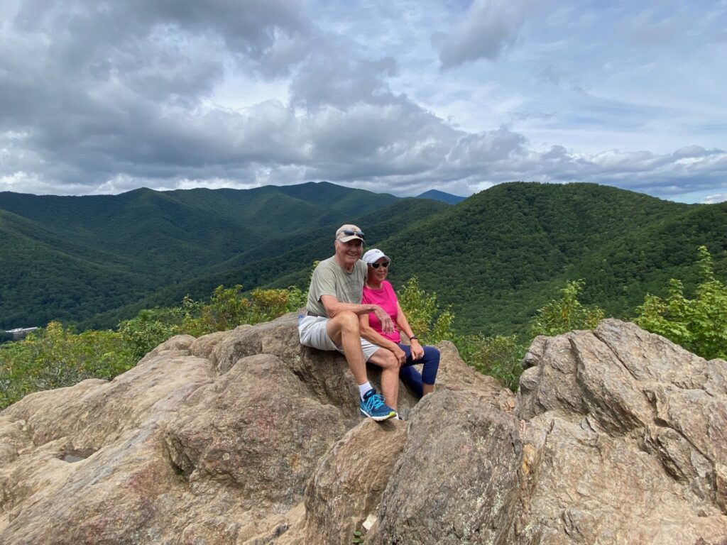
It was an enjoyable hike. Taking it slow and steady definitely is the best way for us to reach the pinnacle of Lookout Mountain. We are comfortable at the top. Yes, we expect to have some sore muscles because we aren’t use to hiking. Glad we did the hike and well worth it for the scenery and sense of accomplishment it gave us.
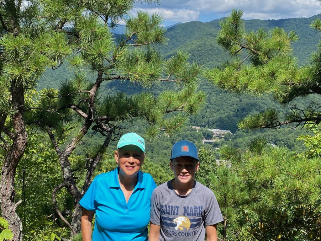
For the Saturday hike with Louis, instead of scrambling over all the rocks to the very top, it was suggested we just take pictures after the first section of the rocky outcropping. Still great views. With more hikers on a weekend day it was safer to avoid the craggy rock climb. I was glad on Monday to scramble to the very top of Lookout Mountain.
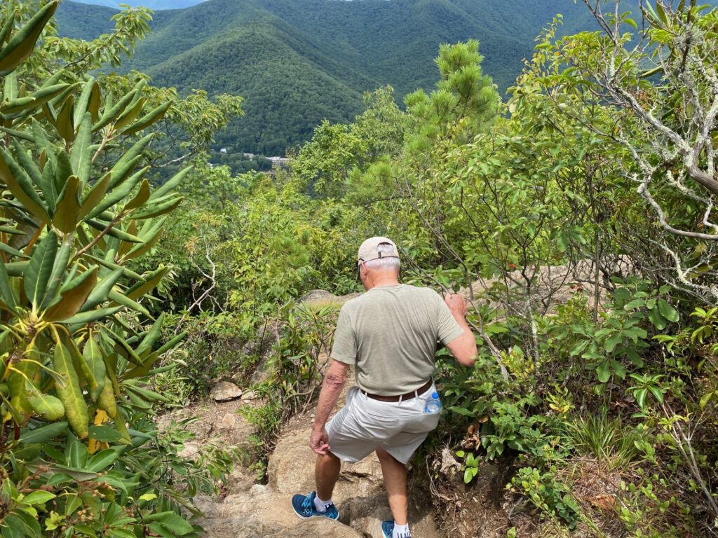
ROCKY OUTCROPPING DESCENT
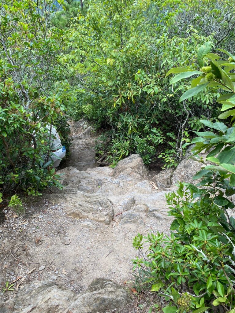
Slowly we descend – glad when have a small tree or root projecting out to hold on to for balance. Once we get past the rocky top area, it is an easy walk down the trail. In fact, we don’t even stop for a break going down. Going up is the challenge, walking down is a breeze.
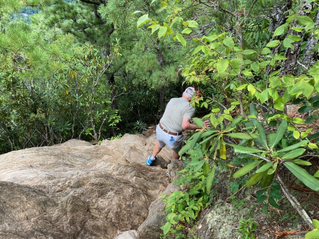
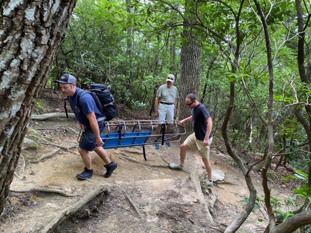
Heading down, we pass Paramedics/EMT’s heading up the path to assist the injured hiker. As we hike down the trail we passed more EMT’s or Paramedics for a total of 9 men. At the parking lot is a firetruck, an ambulance, and station wagon with the commander. The vehicles blocked the Lookout Road going up from the parking lot. A lot of manpower is needed to get someone off the mountain. They had to hike from the Lookout Trail parking lot at least ¾ of the way to the top to get to the injured lady.
If you go:
- Pick up a Montreat Trail Map at the Montreat Store, the Nature Center, or download it.
- Take Exit 64 from I-40, then take highway 9 North through Black Mountain toward Montreat.
- Continue into Montreat, turn right onto Lookout Road (before Lake Susan).
- Continue all the way up the road past the College, driveways, and stop signs. On the right is a parking lot – a large stone says “Lookout Trace.” The Lookout Trail starts from this parking lot.
- If this lot is full, continue on to another larger parking lot on the right hand side. There are some parking spaces along the side of the road but signs also say No Parking in certain areas.
- Do not block traffic.
- Take water and allow plenty of time to hike to the top and back.
- Go at your own pace.
- Take time to enjoy the beauty of the forest and foliage.
- Enjoy being on the top and the different views offered by Lookout Mountain.

